Sept
24
7:30 pm19:30
How Napoleon made London the world capital of trade and finance: an illustrated talk by Jerry White; preceded by the Society’s AGM
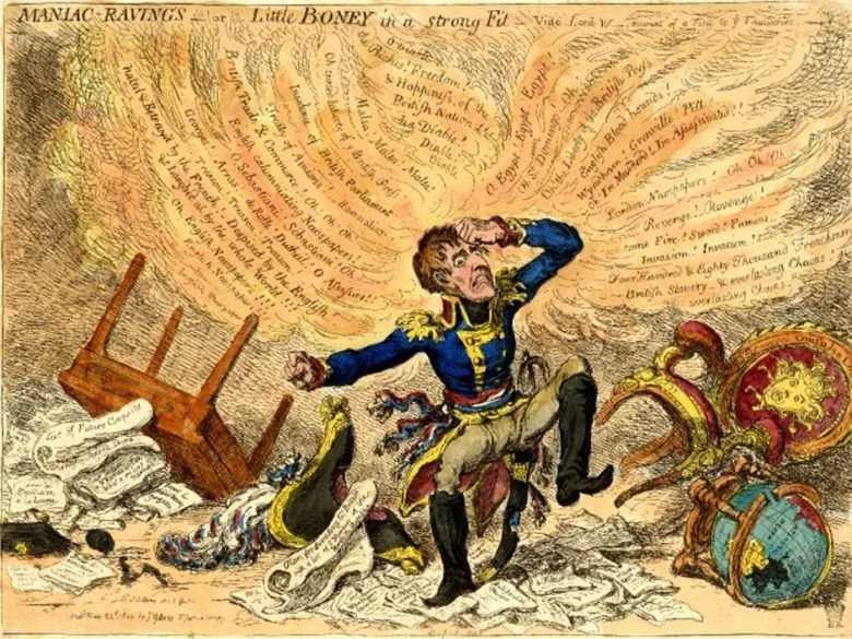
< James Gillray’s 1803 representation of Napoleon Bonaparte, 'Maniac-ravings - or - little Boney in a strong fit - '